Hiking
Trails
With over 1,000 magnificent trails, Tennessee hiking trails offer hikes befitted to your style and capabilities. Hiking, running, or riding, Tennessee has you covered.

Tennessee Hiking Trails Maps
Need a map? There are plenty of free and paid choices available from the TNStateParks website, including detailed routes to safely get you out on the trails. Once you have your Tennessee hiking map, you are ready to start exploring the trails.
Hiking Events
Are you looking for several easy hikes to get you started? The State Park service holds five ranger-led walks each year organized toward educating hikers about the parks.
2021 Hikes
- First Day Hike – Jan 1st
- Spring Hike – Mar 20th
- National Trails Day Hike – Jun 5th
- National Public Lands Day Hike – Sep 25th
- After Thanksgiving Hike – Nov 26th
Tennessee Hiking Trails | Difficulty Levels
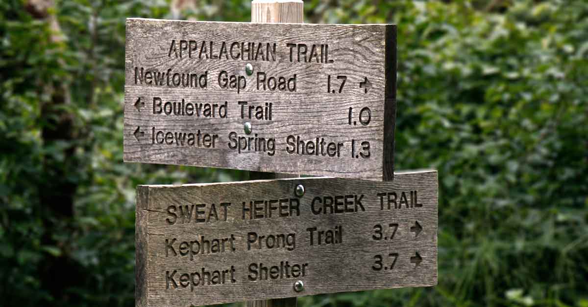
Tennessee hiking trails come in all shapes and sizes. From a manageable 0.6mi loop at Rock Island state park to a week-long trek on the Appalachian Trail, there are options to accommodate any hiker’s requirements.
Easy
Think short in distance and moderately flat.
Moderate
Expect very moderate slopes and ventures customarily under 5 miles.
Hard
Prepare for steep inclinations and treks regularly over 5 miles in length.
Extreme
Please use common sense here. If you are not an experienced overnight hiker, you should avoid these trails. Expect steep and uneven trails. These trails may also require traversing water, fallen trees, and boulders.
Tennessee Hiking Trails Recommendations
- Travel with a companion and carry plenty of food and water.
- Wear closed-toed shoes, take a rain parka, and dress in layers.
- Take a map and talk to park rangers about current trail conditions. Park rangers are great resources to keep you up to date and safe on trails.
- If feasible, log in at trailheads and get your overnight permit if you are on an overnight trek.
Tennessee Hiking Trails | Safety Tips
Hikers can locate imperative safety advice on pages 10-11 of the TTA Hiking Handbook.
Tennessee Hiking Trails | Free Hiking Resources
The Best Hiking Trails In Tennessee
Easy
Welch’s Point
Location: Sparta, TN
The path is a remarkably peaceful 0.3 mile out and back with a marvelous view of the Caney Fork river as your reward.
Moderate
Peregrine Peak – Alum Cave Bluff Trail
Location: Gatlinburg, TN
The trail is a 4.5 mi out and back with some of the most amazing views in the Smoky Mountains. You can expect to hike up and back in 3-4 hours, depending on your skill level. There will be many photo opportunities, more than a few bridge crossings, and places to stop along the way.
Hard
Bearwaller Gap Trail
Location: Carthage, TN
This trail is an 11.7 mi out-and-back track with an altitude gain of 2,539 ft. The path accompanies the Cumberland River for a good portion of the way. Anticipate numerous photo opportunities and glimpses of the river.
Extreme
Mt. Cammerer Loop | Lower Cammerer | Low gap
Location: Cosby, TN
This loop is a 16.2 mi trek. You will experience a 3,448 ft altitude increase throughout the circuit. It is highly encouraged to carry plenty of supplies, a shelter, and warm attire.
Hiking Trails In Tennessee With Waterfalls
Easy
Morgan’s Falls | The Cross
Location: Sewanee, TN
A comfortable 2.4 mi journey. Your reward will be the Sewanee Memorial Cross and Morgan’s Falls along the way.
Moderate
Jigger Creek Falls
Location: Old Fort, TN
An easygoing 1.2 mi out and back hike to a gentle little waterfall. Take a bottle of water set out.
Hard
Virgin Falls Trail
Location: Sparta, TN
Virgin Falls is an 8.7 mile out and back trail with a 1,381 ft altitude gain. This journey is a strenuous hike; however, the compensations are great – Expect four waterfalls along the way. Start early to make it back out before nightfall.
Extreme
Appalachian Trail | Clingmans Dome | Camp 68
Location: Sevier County, TN
The trail to the highest point in the state will take you over a 15.9 mi out and back voyage. You will be hiking the Appalachian Trail in Tennessee and North Carolina.
Near Camp 68, the trail will reward you with Rock Slab Falls before your return to the origin point on the Clingmans Dome Access Rd. Anticipate a 4,333 ft elevation increase, advice to hikers is to carry an abundance of supplies, shelter, and warm apparel as this can quickly turn into an overnight excursion.
Other Notable Tennessee Hiking Trails With Waterfalls
Fall Creek Falls State Park
Location: Pikeville, TN
Twin Falls
Location: Rock Island, TN
Laurel Falls
Location: Gatlinburg, TN
Abrams Falls
Location: Townsend, TN
Greeter Falls
Location: Altamont, TN
Burgess Falls State Park
Location: Sparta, TN
Big Falls Old Stone Fort State Park
Location: Manchester, TN


0 Comments